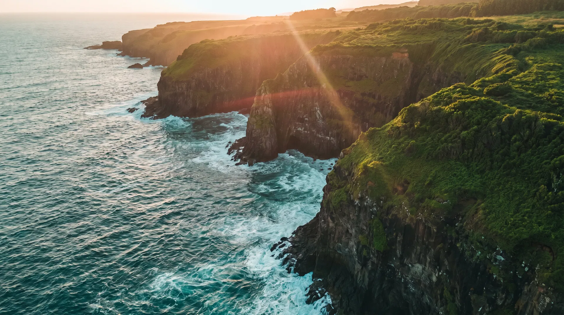
Aerial Cinematography
Commercial-grade aerial video and photography captured with cinema-class drone systems. From sweeping real estate aerials to high-energy event coverage, we deliver footage that commands attention.
DELIVERABLES
- 4K/6K RAW footage
- Color-graded final cuts
- Aerial photography stills
- Social media edits
- Licensed music tracks
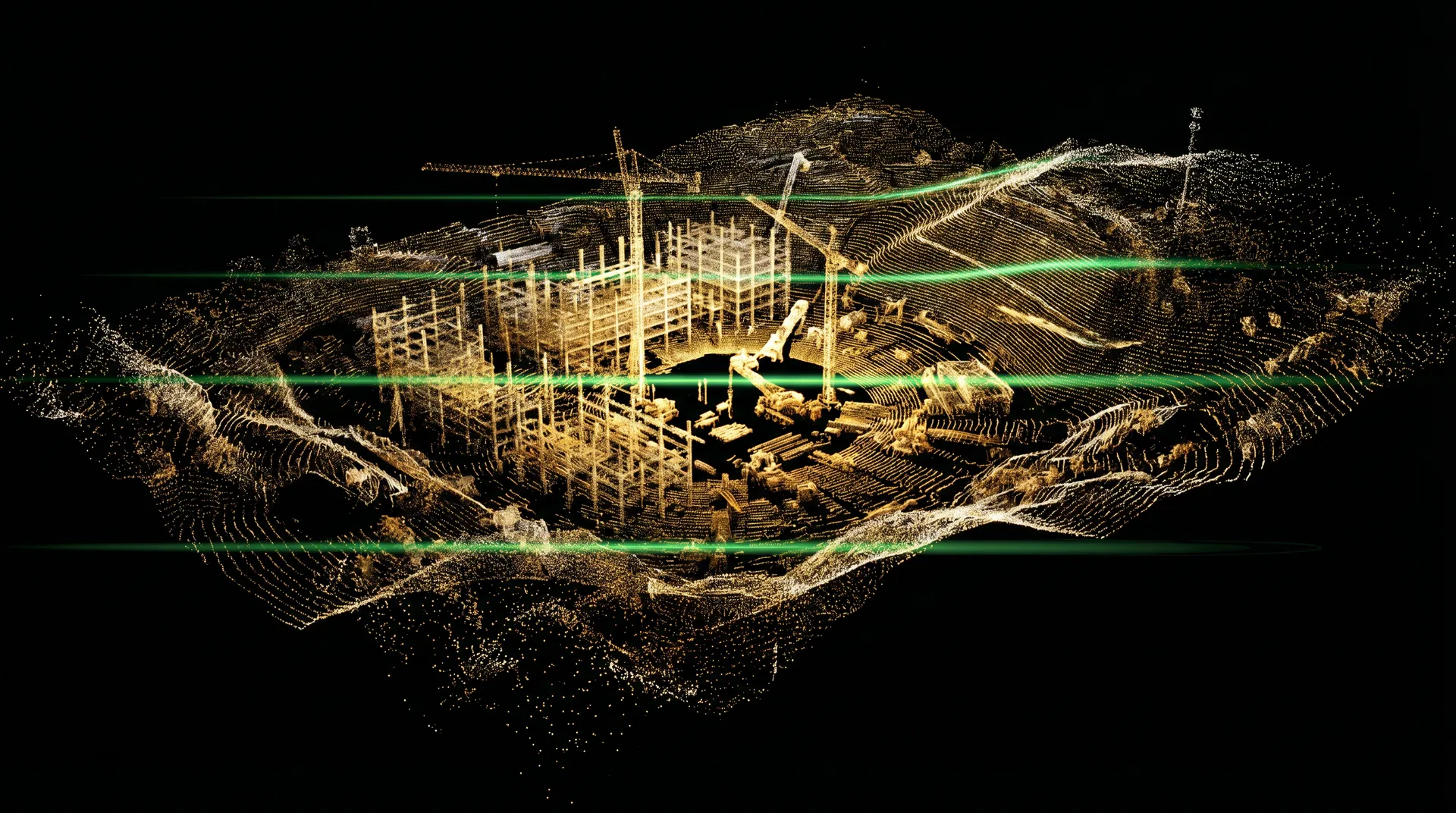
LiDAR Scanning & MappingComing Soon
High-precision terrain mapping and 3D modeling powered by aerial LiDAR systems. Centimeter-accurate point clouds, volumetric calculations, and orthomosaic maps for construction, surveying, and engineering applications. This capability is currently in development.
DELIVERABLES
- 3D point clouds (LAS/LAZ)
- Digital terrain models
- Orthomosaic maps
- Elevation profiles
- Volumetric reports
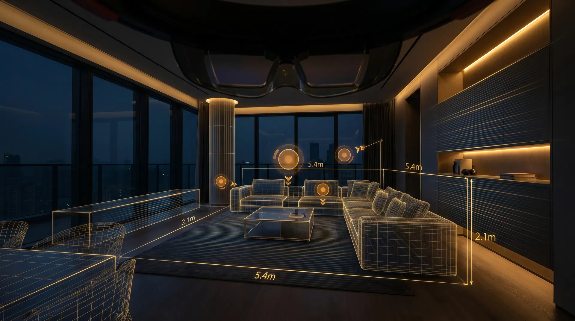
360° Virtual Walkthroughs
Full-spectrum 360° scanning for interior and exterior environments. We create immersive virtual tours that let clients explore properties remotely with photorealistic quality. Ideal for real estate, commercial spaces, and VR-ready experiences.
DELIVERABLES
- Interactive 360° tours
- Dollhouse 3D models
- Floor plan generation
- VR-ready exports
- Branded tour links
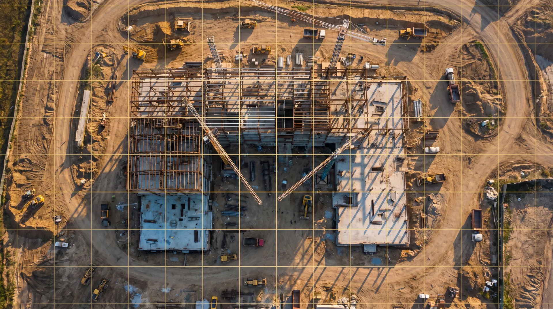
Progress Tracking
Systematic aerial documentation for construction sites and long-term projects. Weekly or bi-weekly drone flights capture progress, enabling timeline playback, before/after comparisons, and detailed progress reports delivered directly to your team.
DELIVERABLES
- Scheduled aerial captures
- Timeline playback videos
- Before/after comparisons
- Progress reports (PDF)
- Photo documentation sets
NEED A CUSTOM SOLUTION?
Every project is unique. Tell us what you need and we will engineer the right aerial solution.
Get a Custom Quote